181338
[il pal, il sam, sam pal]
A gifted chaebol runaway leads a band of delinquents in stealing an ancient atlas from the man who destroyed his young life, (re)entangling him in South Korea's sordid and violent worlds.
a heist au
[general information]
tags: organized crime, family drama, found family, children in conflict with the law, graphic violence and abuse, mental health issues, mystery, cliffhangers, slow burn
genre: heist, crime fiction, ensemble
publication date: 13 june 2019 - present
a work-in-progress by @zaemitgetta
the target: the tongguk chido


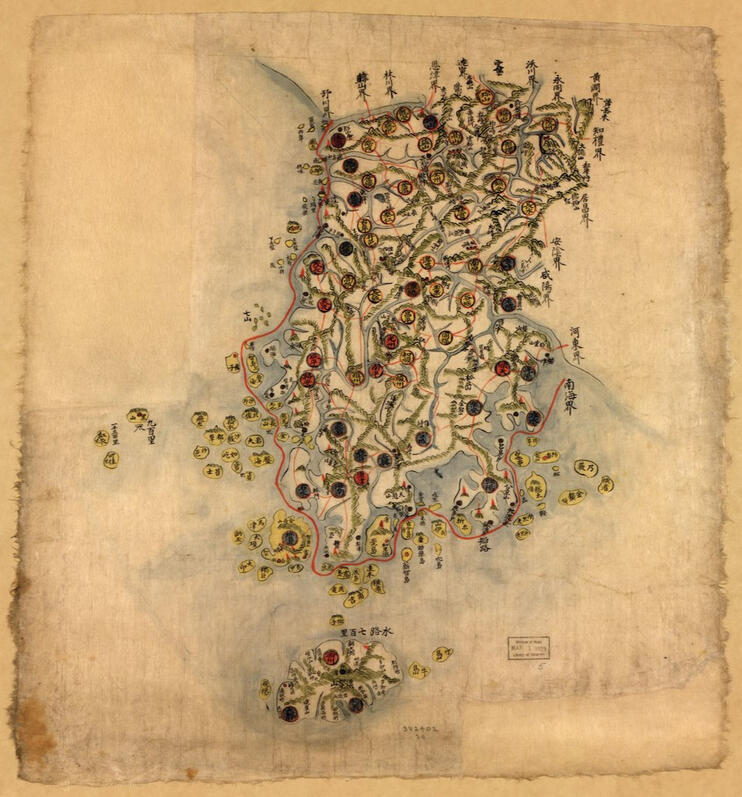
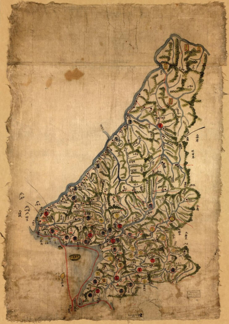
In order to produce more accurate maps, Chong Sanggi undertook a survey of Korea from 1710 to 1730 climbing mountains and taking measurements with an odometer to measure distance and a plane table to estimate altitude. He made his map of Korea (Tongguk Chido) and an atlas of constituent provinces (Tongguk Yojido) at a scale of 1 to 400,000 around 1730.
These are the first maps of Korea that used a standardized scale. Before him maps of provinces were sized to fit on a sheet of paper. In the 1750s the maps was brought to royal attention and sent to the royal library to be copied. The paper is made from the bark of the mulberry tree and hand colored by a highly skilled painter/ mapmaker from the Royal Painting Bureau. Looking at the script, which is in Chinese, as were most Korean maps of this period, the writings and place names suggest a date in the late eighteenth century. Although the maps could have been made even earlier with the script added decades later. The maps were thus made between 1760 and 1790.
There are nine maps in all. There is a map of Korea where Seoul is clearly marked in bright red and given prominence as the national capital and court of the Joseon dynasty. Another important figurative feature is Paektu Mountain which plays a significant role in Korean folklore as the spiritual home of the nation. Then follows maps of the eight constituent provinces of the country. Six provinces are portrayed on one sheet. Because of differences in size, one sheet combines the two provinces of Kyeonggi and Chungchong while the very large province of Hamgyeong is portrayed on two separate sheets. Each provincial maps contains red-colored signal towers. These beacons were a national early warning system allowing information about attacks (especially from pirates and foreign invaders) and social unrest to be transmitted across the country and back to the national capital. The towns are graded by color according to their size and political function. County seats are depicted, as are fortified command posts. Small green circles in some of the provincial maps and black dots on others are distance markers although roads are not depicted.
All the maps embody traditional Korea cartographic design. There is long tradition in Korea mapmaking, going back to the 9th century ACE, of representing the landscape as a living organism.
Current selling price is from $100,000.00-150,000.00.
SOURCE
the crew
Trailers
Posters


Moodboards
chapter one: breaking and entering
chapter two: enemies, lovers and friends
chapter three: the target, the team
chapter four: tadpoles, thieves and taoism
chapter six: the boy at molaeseong


